Snow Forecast For The Weekend
Snow Forecast For The Weekend
Published : 03-Feb-2017 12:45

Snow has already been falling in the Alps and forecasts expect this to intensify over the weekend – with the possibility of transfer day disruption – over the coming 72 hours.
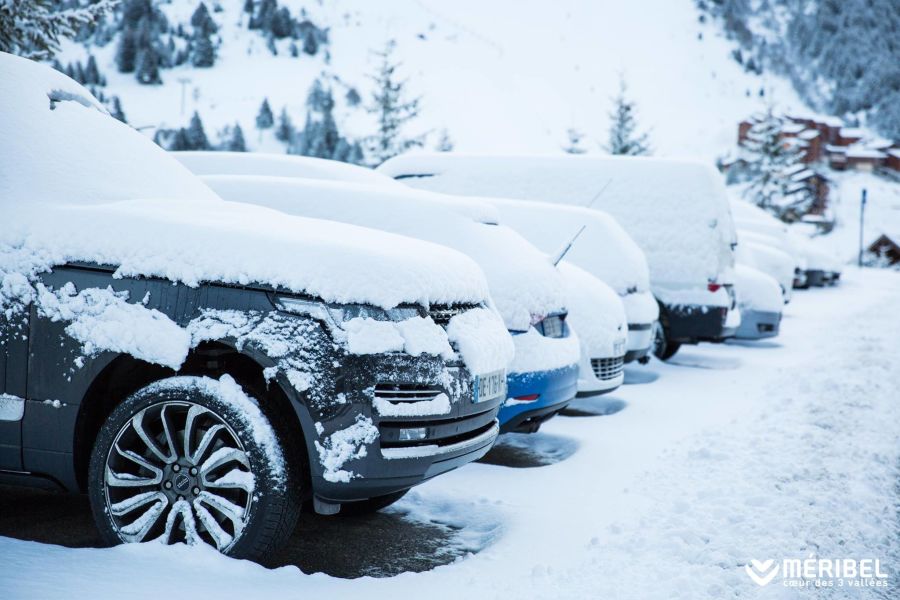
Many areas report 5-15cm of snow overnight yesterday (Meribel with 10cm overnight is pictured above) – the biggest accumulations – 20cm – were reported in the Milky Way region on the French/Italian border and at Bonneval Sur Alp and Risoul in France as well as in Madesimo, Italy.
Forecasts expect many areas in the Alps to pick up similar or larger falls each day for at least the next three days. So many areas are forecast to get at least 30cm/a foot by Monday, some as much as 90cm if predictions prove correct. The French alps seem to be due the biggest snowfalls though the snow is expected to fall across the Alps.
Current forecasts expect La Plagne, Les Arcs, Megeve, the Grand Massif and many other leading French areas to get around 60cm. The Portes du Soleil, Les 2 Alpes and 3 Valleys are forecast to get closer to 50cm and the Chamonix Valley as much as 75cm and the Tignes-Val d'Isere area as much as 90cm (3 feet) by the end of Monday. In most cases Sunday looks to be marginally the snowiest day.
In the wider ski world there are bigger falls forecast in the Pyrenees, where up to a metre of snow may fall, continuing the snowy 2017 so far, although strong winds (up to 160 km/h) are also expected from Sunday. Similarly Western North America is set to get another big snowfall after a week's break from the constant heavy snow storms of December and January.
We are always wary at J2Ski about reporting on forecasted snow, as it often doesn't arrive as predicted, but as this forecast is right upon us rather than a week-off-guesstimate, we're taking a chance.
Join the conversation : Discuss this in the J2Ski Forum (1 comment so far)
This news item has been viewed 9,136 times.
Also on J2Ski :- Les Arcs Snow Forecast Ski Hotels Ski Hire Ski Holidays