More Big Snowstorms Arriving in the Alps, Dolomites and Pyrenees
More Big Snowstorms Arriving in the Alps, Dolomites and Pyrenees
Published : 20-Dec-2019 09:53

Another major snowstorm is moving in to Western Europe with forecasting models predicting some resorts could see several feet (60cm+) of fresh snowfall in 24-36 hours over the next few days and some totals of more than a metre more snow by Monday.
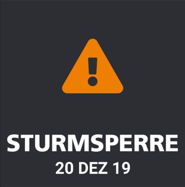
It's the second successive weekend of snowstorms, which may impact those heading home or arriving in the mountains for Christmas week. The storm is already hitting and several resorts in the Alps and Pyrenees have announced they're closing today and/or tomorrow because of it.
Among them, the Stubai glacier is closed today and Lans en Vercors says it won't be able to start its season as planned tomorrow because of the weather, but aims to on Sunday.
In between the two storms past week in the Northern French Alps has been warm and windy. Big depths of snow received last Friday and Saturday have shrunk due to the melting effects of the Foehn wind.
The good news though is that after the storms pass, next week is looking good with beautiful conditions expected over the Christmas period. Most resorts also have almost all of their terrain open (and in some cases 100%) thanks to all the snow this autumn to date.
The long-established Henry's Avalanche Talk (HAT) group which provides training and essential information both in The French Alps and the UK for skiers who want to go off-piste, has published an update from their Val d'Isère base, reporting,
"Following the past week's warming up and loosening of the snowpack, cooler temperatures in the next few days (at least until the beginning of next week) should firm up this looser snowpack at altitudes above 2000 m where temperatures should be hopefully be going down below freezing point. But it looks as if we're due for large amounts of snow again in much of the Northern French Alps and surrounding areas. The forecast is for very stormy weather with blizzard conditions over the weekend. With the significant precipitation, which looks like continuing for several days, there will come a lot of natural "direct action" avalanches due to the huge quantities of snow (above 2000 m)."
HAT reports the avalanche risk is currently at a moderate 2/5 below 2200 m, and a considerable 3/5 above that altitude. However, during and after the snowstorms that are forecast, this will go up to a high 4/5 or may even become a very high 5/5.
http://www.henrysavalanchetalk.com
Join the conversation : Discuss this in the J2Ski Forum (12 comments so far)
This news item has been viewed 5,851 times.
Also on J2Ski :- Val d'Isère Snow Forecast Ski Hotels Ski Hire Ski Holidays